


|
||

|

|
|

|
Stock# 87803
Description
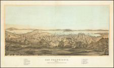
Scarce early-20th-century wall map of San Francisco prepared by the famous local firm Britton & Rey in the last years of their existence (the firm was acquired in 1916).
This map shows San Francisco after it rebounded from the 1906 earthquake and fire with grids of streets stretching out over the peninsula.
The map shows and names many streets and has elevation shown with contour lines.
Condition Description
Wall map backed on original linen and mounted on wooden dowels.
![Alameda County, California. Showing The Automobile Roads and Principal Points of Interest . . . [Livermore Valley Views]](https://storage.googleapis.com/raremaps/img/small/76961.jpg)
![(Bird's-Eye View of California) San Francisco Invites You [cover title]](https://storage.googleapis.com/raremaps/img/small/92552.jpg)