
This item has been sold, but you can enter your email address to be notified if another example becomes available.


|
||

|

|
|

|
Stock# 87547
Description
Fine original antique map of the Franconia region of Germany, extending slightly neighboring regions including Bavaria to the south.
The map is centered on the course of the Main River. It shows Regensburg, Nurnberg, Bamberg, Wurtzberg, Heidelberg, Manytz, Francfurt, Wertheim, and many other cities. The map is bounded on the west by the Rhine and on the East by the Nab and the Danube.
This map was published by Gerard and Leonard Valk in Amsterdam near the end of the 17th century.
Condition Description
Original hand-color. Small area of wear near centerfold.
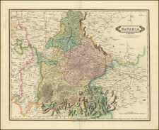
![[ Nuremberg ] Territorium Norimbergense.](https://storage.googleapis.com/raremaps/img/small/64644op.jpg)
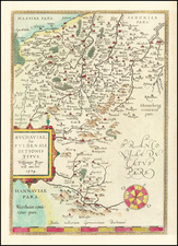
![[ Alsace - Rhine River From Basle to Spier ] Alsatiae Superioris et Inferioris Accuratissima Geographica Descriptio](https://storage.googleapis.com/raremaps/img/small/95530.jpg)
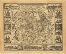
![[Bavaria] Kurtze Beschreibung des gantzen Furstentumbs obern und Nidern Bayrn (Short description of the whole Principality of Upper and Lower Bavaria)](https://storage.googleapis.com/raremaps/img/small/93492.jpg)