|
||

|

|
|

|
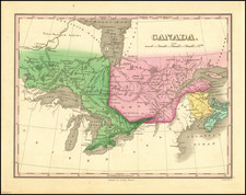
Original antique map of the Grand Trunk Railway, the precursor to today's Canadian National Railway.
The map shows the main line of the Grand Trunk Railway, as well as lesser connections. The railway connects Portland, Maine, to Montreal, Ontario, Detroit, Chicago, and Milwaukee. The railway advertised heavily on its Niagara River crossings that provided views of the famous falls, as shown on the verso of the map.
The Grand Trunk Railway was chartered in 1852 as a railway line between Montreal and Toronto. The Railway was critical in allowing Canada to move away from British rule by moving away from its heavy reliance on the St. Laurence River and maritime trade. The Railway reached its peak in the 1880s and 1890s as it expanded into US railroads, most noticeably in Michigan.
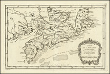
![A Plan of the City & Fortifications of Louisburg, from a Survey Made by Richard Gridley, Lieut. Col. of the Train of Artillery in 1745 [on sheet with] A Plan of the City and Harbour of Louisburg, with the French Batteries that Defended it . . .](https://storage.googleapis.com/raremaps/img/small/69378.jpg)