This item has been sold, but you can enter your email address to be notified if another example becomes available.


|
||

|

|
|

|
Stock# 85343
Description
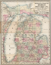
Early folding highway map of Michigan, issued by the Clason Map Co. circa 1925.
The map was issued before the transition to numbered national highways in 1926, but at a point when the road systems, even in rural Michigan, were well developed.
There is an inset for the western part of the Upper Peninsula titled "Insert Map Western End of State".
Condition Description
Folding map. Green covers with the emblem of the Kalamazoo National Bank.
![The State of Ohio with part of Upper Canada, &c. [and Part of Michigan Territory within Ohio]](https://storage.googleapis.com/raremaps/img/small/102945.jpg)