|
||

|

|
|

|
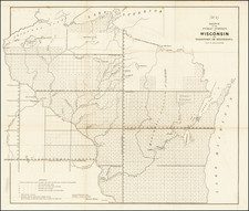
Rare and early cadastral plan of a section of Superior, Wisconsin, on the southwestern banks of Lake Superior. The map was prepared by local surveyor Richard Relf and published in St. Paul in the late 1850s.
The map was lithographed by the St. Paul, Minnesota Territory-based job lithographers Holmes, Payte & Buechner.
Richard Relf prepared another map, of Montgomery's Addition to Superior, which was also lithographed by Holmes, Payte & Buechner, apparently in 1863. His map of Duluth is dated circa 1856 by Duluth Public Library, which seems like a more appropriate date for the present plan. Relf was involved in a number of surveying and publishing activities in the Minnesota territorial period. Relf included the following note on the map:
Laid out for Thomas G. Barnes on the North East 1/4 of Section No.3 Township No. 48 North, Range No 13 West of the 4th principal Meridian, Douglas County, Wisconsin. The Streets are 80 feet wide, the Avenues 100 feet wide, the Alleys 16 ft. wide, the Lots, not fractioned, are 25 ft front by 120 ft. deep. The plot is a continuation of & with the system adopted by the Proprietors of Superior. Richard Relf, Surv.
Rarity and Provenance
Rare. No examples traced in OCLC. No examples traced in general internet searches. There is an example at Minnesota Historical, though it does not appear in online searches.
Deaccessioned duplicate from Minnesota Historical Society.