|
||

|

|
|

|
Stock# 84598
Description
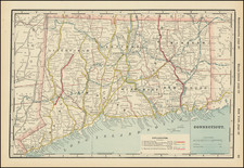
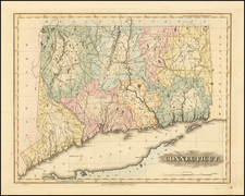
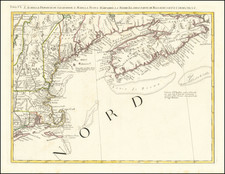
Scarce separately-issued map of Massachusetts, Connecticut, and Rhode Island, with an inset of Boston and its vicinity.
This map was published in Boston around 1830 by Lincoln and Edmands, having been engraved by Annin & Smith.
A small list of "Towns too Small to Admit Their Names" (including Charlestown and Cambridge, adjacent to Boston) is provided.
A note indicates that the map was "Reduced by permission from Hale's large Map of New England."
Condition Description
Original hand-color in full. Folding map, with original leather covers. Wear at folds. Staining. Fair to Good condition, but a scarce map.