The item illustrated and described below is sold, but we
have another example in stock. To view the example which
is currently being offered for sale, click the
"View Details" button below.


|
||

|

|
|

|
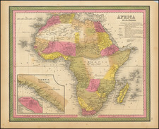
Stock# 8458
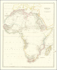
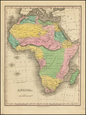
![Totius Africae Accuratissima Tabula Authore I. Danckerts Amsteoldami [Most Accurate Map of All of Africa by I. Danckerts, Amsterdam]](https://storage.googleapis.com/raremaps/img/small/95551.jpg)