
This item has been sold, but you can enter your email address to be notified if another example becomes available.


|
||

|

|
|

|
Stock# 83977
Description
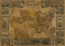
Promoting Trade Between France & America
Fascinating map of the United States, outling the different railroad routes available to French shippers at the beginning of the 20th Century.
The map was published to promote Lee, Higginson & Company, Bankes, and their agent, MM F. Dupont et M.H. Furlaud in Paris.
Includes a list of over 25 railroad companies, each color coded, with a list of products produced by the United States and the relative proporation of the supply to the supply of the entire world. For example, the US was then producing 83% of the Word's Cotton and 77% of the World's Corn.

![Colton's Map of the United States The Canadas &c. Showing the Railroads, Canals, & Stage Roads With Distances From Place to Place…1856 [Pocket Map]](https://storage.googleapis.com/raremaps/img/small/85342.jpg)

![[ Catholic Dioceses and Missions in the United States ] Karte der katholischen Dioecesen und der en Missionen in Nordamerika nach den nuesten geographischen Angaben... 1845](https://storage.googleapis.com/raremaps/img/small/98630.jpg)