|
||

|

|
|

|
Stock# 83368
Description
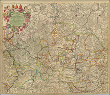
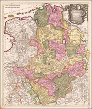
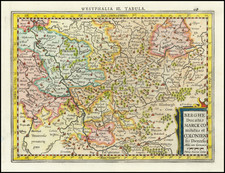
Embossed relief map centered on the eastern part of Germany and western Czechoslovakia, from Amberg east to Krakow and from Grunberg south to Passau, in German Braille and German. A raised 1/8" dot represents cities, while a raised ring of the same size represents smaller cities and towns. Most place names are abbreviated.
After the success of Marburg University ophthalmologist Alfred Bielschowsky's courses in 1915, The Marburger Blindenstudienanstalt (or Deutsche Blindenstudienanstalt) was founded in 1916 for the many returning soldiers who were left partially or completely blind from shrapnel or the large-scale use of chemical weapons in World War I.
Condition Description
Two-sheet map joined with tape along central vertical fold. Ink library stamp in lower right "Eigentum der Blindenhochschulbucherel Marburg/Lahn." Some discoloration in right margin.
![[Frankfurt-am-Rhein] Novam Hanc Territorii Francofurtensis Tabulum Nobilissis Magnificis, Amplimisis Prudentissimisque Dominis . . .](https://storage.googleapis.com/raremaps/img/small/86355.jpg)