|
||

|

|
|

|
Stock# 82840
Description
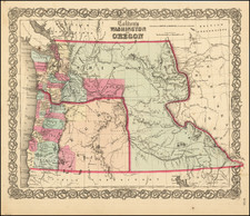
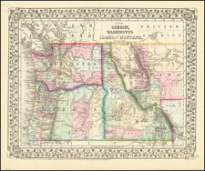
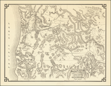
Rand McNally & Co's New Business Atlas Map of Idaho, published after the establishment of Lincoln County. Ketchum, originally established as Leadville in 1880 and shortly thereafter renamed, is mapped.
Highly detailed, showing towns, mines, roads, railroads, mountains, rivers, Indian reservations, military reserves, post offices, forts, lakes, etc.
Condition Description
Small corner torn on upper left margin.