This item has been sold, but you can enter your email address to be notified if another example becomes available.


|
||

|

|
|

|
Stock# 81864
Description
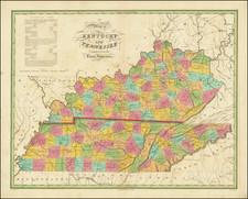
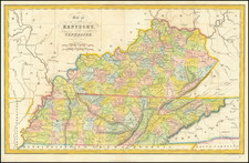
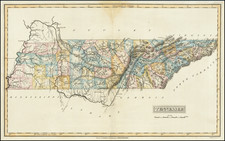
Scarce early map of Tennessee from Tanner's Universal Atlas.
The map is hand colored by counties and shows railroads, proposed railroads, major roads, distances, towns, rivers, etc.
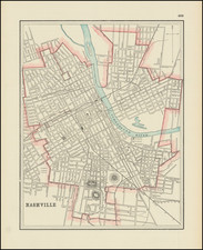
A key shows the steamboat routes and distances. Well less than of the counties are shown. Large insets of Nashville and Knoxville.
Condition Description
Hand-colored. Cleaned and consequently a bit faint. Good to VG.