This item has been sold, but you can enter your email address to be notified if another example becomes available.


|
||

|

|
|

|
Stock# 81322
Description
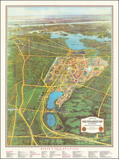
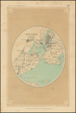
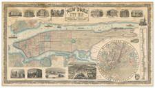
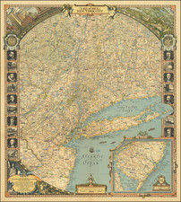
This mid-20th century folding map of New York, published by Geographia, is a comprehensive guide to the city, featuring four maps in one. It is designed to provide users with the most up-to-date information to navigate and explore New York City with ease.
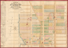
- The first map is a detailed street map of Manhattan, which includes transit lines and house numbers. This map helps users find specific addresses and navigate the city using public transportation.
- The second map is a subway and elevated train (L) map covering Manhattan, the Bronx, Brooklyn, and Queens. This map provides users with a clear understanding of the city's extensive subway and elevated train network, allowing them to plan their journeys efficiently.
- The third map is a large-scale map of Midtown Manhattan, focusing on the central business and tourist district. This map offers a more detailed view of the area, making it easier for users to find points of interest, businesses, and attractions.
- The fourth map is a large-scale map of the Financial District in Manhattan, home to Wall Street and many financial institutions. This map provides a detailed layout of the area, enabling users to navigate the bustling financial center with ease.
Together, these four maps offer a comprehensive and user-friendly guide to New York City, making it an essential tool for tourists, residents, and business travelers during the mid-20th century.
Condition Description
Folding map printed on both sides. Some wear and tears, especially in the lower right corner, but also at fold intersections. Fair to Good.