|
||

|

|
|

|
Stock# 80602
Description
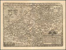
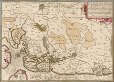
Attractive antique map of Zeelandic Flanders featuring polders, Fort Knokke, the fortified cities of Bruges and Sluis, and routes and battlements of the Eighty Years' War. Many ships appear in the North Sea and canals. At the lower left is an inset map of Sluis, the site of a major land battle and Dutch victory, featuring many firing cannons.
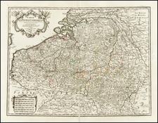
Visscher bought Kaerius' copper plates of Germania inferior and used many of them for his own Germania Inferior.
Condition Description
Latin text on verso. Some minor foxing. Lower margin replaced from the neatline.