|
||

|

|
|

|
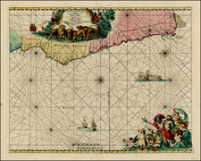
Finely engraved and delicately colored plan of the Castle of Good Hope, in present-day Cape Town, the oldest existing building in South Africa. The map shows the location of the fort overlooking Table Bay, before the land reclamation of the Victoria and Alfred Waterfront moved it several blocks inland.
The fort was originally built during the end of the 17th century during a period of rising Dutch-English tensions. The fort would be captured in 1795 by British troops, as noted on the map, during the subjugation of the Dutch Republic by France, it would be returned in 1803.
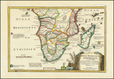
Luffman's Select Plans is an uncommon traveler's guide that served to educate the intrepid traveler regarding any part of the world, from the major cities of Europe to the wild coasts of the Spice Islands. Each of Luffman's maps contained detailed coastal descriptions showing the major landmarks and cities, as well as basic but necessary navigational information. This plate appeared in the second of Luffman's two volumes.