
This item has been sold, but you can enter your email address to be notified if another example becomes available.


|
||

|

|
|

|
Stock# 79644
Description
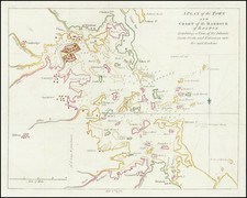
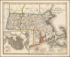
One of the earliest obtainable maps of Massachusetts to appear in an American atlas.
Counties are named and delineated, as are major towns.
Nantucket and Martha's Vineyard are shown.
From Joseph Scott's Gazetteer. According to Phillips, Joseph Scott did An Atlas of the United States, 1796, which has the same maps as in the Gazetteer and is the earliest atlas of the U.S.
Condition Description
Minor foxing.

![[ Temperance Allegorical View ] Black Valley Railroad. Tickets Sold at all Liquor Shops. Accidents by Collisions are Entirely Avoided, as no up Trains are Run Over the Road.](https://storage.googleapis.com/raremaps/img/small/101469.jpg)
