|
||

|

|
|

|
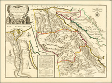
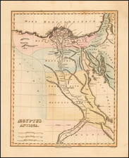
Scarce and delicately engraved and colored map of the Nile River Delta, from Cairo north the Mediterranean. The map is an up-to-date accounting of the French occupation of Egypt, published in the last year of the Napoleonic campaign to occupy the region.
The map marks with a symbol of crossed swords shows the locations of battles between French troops and Turkish, English, and local forces. Further, the map fantastically shows the path of ruins of a canal between the Red Sea and the Great Bitter Lake.
The conflict in Egypt was closely followed by British citizens, given that it was an attempt by Bonaparte to cut off English communications with India, and thus allow for a local rebellion in the subcontinent. After several years of harsh fighting, and the engagement of British troops, the French would be forced to retreat starting in 1801.
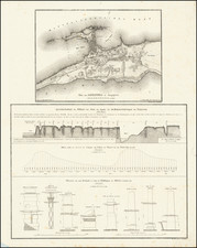
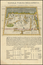
Luffman's Select Plans is an uncommon traveler's guide that served to educate the intrepid traveler regarding any part of the world, from the major cities of Europe to the wild coasts of the Spice Islands. Each of Luffman's maps contained detailed coastal descriptions showing the major landmarks and cities, as well as basic but necessary navigational information. This plate appeared in the first of Luffman's two volumes.