|
||

|

|
|

|
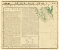
Scarce map of Vancouver Island and Vicinity, published to accompany Dr. Charles Forbes article on Vancouver Island, as presented to the Royal Geographical Society in 1864.
The map appeared in the Journal of the Royal Geographical Society of London. Vol. 34, (1864). In March 1860 Forbes arrived at Vancouver Island aboard the gunboat HMS Topaze. As a trained geologist, Governor Douglas requested his services for a survey of the route from the head of Harrison Lake, Port Douglas, to the Lillooet trail, the preferred prospector route to the gold regions of British Columbia.
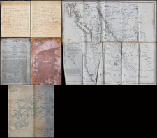
The work spurred Forbes' interest in Vancouver Island. Gathering information from other observers, Forbes gathered data and when in late October 1861, the Colonial Secretary announced a public essay competition to extol the features of the colony, Forbes decided to enter. Forbes’s essay won the prize for Vancouver Island and the colonial government published it in booklet form in June 1862.
In June 1863, and Forbes returned to Britain, retiring from naval service, to take up private practice. On March 14, 1864, he read a paper to the Royal Geographical Society in London entitled “Notes on the Physical Geography of Vancouver Island.” The society published it the following year in its journal, accompanied by this map.
![[Havana / Cartagena] Neu und Verbesserter Plan der St. u. Hafens Havana aus der Ins. Cuba . . . 1739 [with] Neu under verbesserter lan des Hafnes non Cathaagena in America . . . 1740](https://storage.googleapis.com/raremaps/img/small/89441.jpg)