|
||

|

|
|

|
Stock# 77848
Description
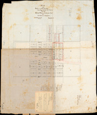
Attractive vintage map of northern California, showing the road, rail, and ferry connections from Merced to Grants Pass, Oregon.
The map is detailed, showing waterways, towns, points of interest, and more. The map was produced as part of a pamphlet that advertised for the California Transportation Company, which operated river services between San Francisco, Stockton, and Sacramento. Photos of their amenities are shown. In 1927, they estimate that the river system carried nearly 200,000 passengers and over $135,000,000 worth of commerce.
Condition Description
Folding pamphlet.