This item has been sold, but you can enter your email address to be notified if another example becomes available.


|
||

|

|
|

|
Stock# 75680
Description
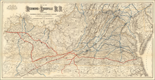
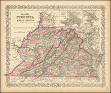
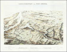
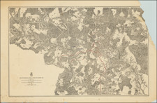
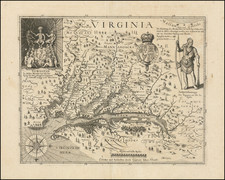
Detailed and interesting map of Virginia, published by Cowperthwait Butler & Desilver.
The map is hand colored by county and showing towns, rivers, bays, lakes, railroads, roads, distances, forts, etc.
Tables of principal railroad and steamship routes and distances.
Inset of the District of Columbia.