This item has been sold, but you can enter your email address to be notified if another example becomes available.


|
||

|

|
|

|
Stock# 75185
Description
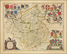
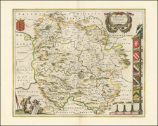
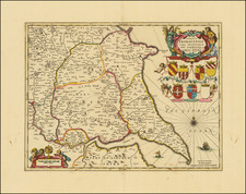
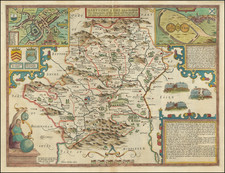
Early-17th-century engraved map of Cheshire, in England, engraved by William Hole after work of Christopher Saxton.
The map shows the county in the northwest of England, on the Irish Sea, just northeast of Wales. The main city of Chester is depicted and named.
Condition Description
Creasing in the bottom margin, well outside the printed image.