
This item has been sold, but you can enter your email address to be notified if another example becomes available.


|
||

|

|
|

|
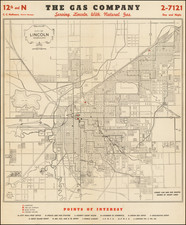
Stock# 74772
![[Austins Colony] Mexico & Guatemala](https://storage.googleapis.com/raremaps/img/small/94054.jpg)

![(Native American Photograph) [CDV Photograph of Prairie Indian man, possibly a Kansa or Kickapoo]](https://storage.googleapis.com/raremaps/img/small/93108.jpg)