The item illustrated and described below is sold, but we
have another example in stock. To view the example which
is currently being offered for sale, click the
"View Details" button below.
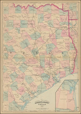
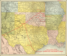
1900 circa St. Louis Southwestern Railway
$ 950.00


|
||

|

|
|

|
Stock# 74086
Description
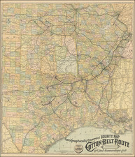
Excellent antique map of the railroad route from St. Louis to Texas, published by the St. Louis Southwestern Railway circa 1900.
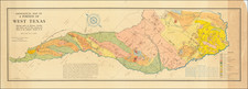
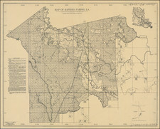
The map covers most or all of Texas, Louisiana, Arkansas, Oklahoma and Indian Territory, Kansas, and Missouri. All of which are divided into counties.
The covers are titled "Homes in the Southwest. A Brief and Reliable Description of those Counties in Arkansas and Texas, traversed by the lines of the Cotton Belt Route, St. Louis Southwestern R'y."
Condition Description
Folding map. Some wear and small holes at intersecting folds. Some folds reinforced on verso with clear tape. Section of the upper-left corner with a clean tear archivally mended. Small areas of clear tape on the face of the map.