
This item has been sold, but you can enter your email address to be notified if another example becomes available.


|
||

|

|
|

|
Stock# 73572
Description
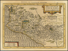
Interesting map of the Viceroyalty of Mexico, which appeared in Humboldt's seminal work.
The map provides a fine schematic image of the viceroyalty and its provinces, roads, major towns, villages, forts and garrisons, Indian towns and villages and "towns execavated."
An interesting look at Mexico on the even of its Independence.
Condition Description
Minor toning. Original folds. VG to VG+
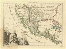
![[Mexico and Central America with Baja California inset, from Generalkarte von Nord America samt den Westindischen Inseln Versasst von Herrn. Pownall . . . MDCCLXXXVIII]](https://storage.googleapis.com/raremaps/img/small/95064.jpg)
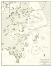
![[Sketch of Río Chacalapa and surrounding hills]](https://storage.googleapis.com/raremaps/img/small/49303ba.jpg)