|
||

|

|
|

|
Stock# 71891
Description
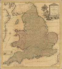
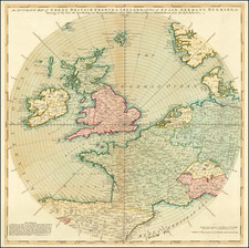
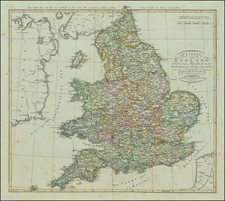
Rare thematic road map of the British Isles, published by Thomas and John Bowles.
The map focuses on the distance between the towns and market towns along the major roads of England, with all roads leading ultimately to London.
The inclusion of "sea road" is a fascinating feature. From Holy Head (Anglesey), a road leads to Dublin. East Anglia shows roads to Holland, while Kent has a road to Calais.
Rarity
The map is quite scarce on the market.
Condition Description
Minor toning. Some loss along upper left margin, just affecting neat line and printed image, with an old repair.
![[ London To Portsmouth ] The Road from London to Portsmouth in com: Southamp: Actually Surveyed & Delineated . . . .](https://storage.googleapis.com/raremaps/img/small/98935.jpg)
![[Battle of Chatham / Raid on the Medway] Afbeeldingh van de stadt en revier van Rochester, Chatham . . . 1667 | Het Eylandt Shepey en 't Fort Shirenasse verovert ende geplondert op den 20 en 21 Junij 1667](https://storage.googleapis.com/raremaps/img/small/86137.jpg)