|
||

|

|
|

|
Rare chart of the harbor at Carthanga, Spain, published by William Heather in London.
The chart is oriented with north at the top, with the Arsenal, Fortified Town, Castle and Hermitage all illustrated, along with fortifications and batteries at the mouth of the harbor.
Includes soundings, some topographical features, anchorages, a pictorial representation of the town and fortress, and several other points of interest.
Rarity
The charts from Heather's New Mediterranean Pilot . . . are extremely rare on the market. This is the first example of the chart we have ever seen.
Heather's The New Mediterranean Pilot
This small chart comes from the first English attempt at a collection of ports of the Mediterranean, although the genre was well established in France, Italy, and Spain already. The first was published by Joseph Roux in Marseilles in 1764, with versions published in several Italian port cities.
The French and Italian versions were of relatively crude execution, but Heather’s version is notable for the finely engraved charts, many signed in monogram by the London engraver John Stephenson.
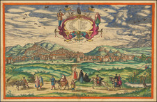
![[Zaragosa] Belagerung von Saragossa / Siege de Saragosse](https://storage.googleapis.com/raremaps/img/small/67634.jpg)
![[Bilbao] Bilvao . . .](https://storage.googleapis.com/raremaps/img/small/96905.jpg)
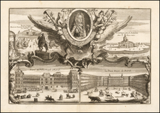
![[Barcelona] Barcino Metropolis Hispanici Principatus Cataloniae in littore Maris Mediterranei, perquam munita, et ab portus como ditatem celeberrimum Emporium cura Impensis . . .](https://storage.googleapis.com/raremaps/img/small/90953.jpg)