This item has been sold, but you can enter your email address to be notified if another example becomes available.


|
||

|

|
|

|
Stock# 69769
Description
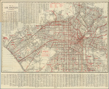
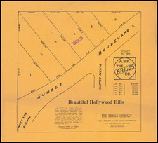
Detailed street map of 1930s Los Angeles, focusing specifically on Downtown Los Angeles and adjacent neighborhoods.
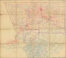
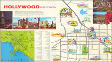
On the verso is a "Map of Western Portions of Los Angeles" also by E.F. Hill, that stretches from Vista Del Mar to Santa Monica.
The maps were made by E.F. Hill and issued by Lyon Van and Storage as a promotional.
They are important for charting the early 20th century development of Los Angeles.
Condition Description
Small loss to uppper-left corner. Minor amount of marginal toning. Folding map.