|
||

|

|
|

|
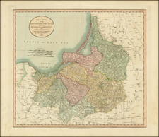
Fine large map of part of Wohlau, Parchwitz, Lüben and Herrnstad, the northwestern part of Breslau, originally drawn by Johann Wolfgang Wieland (?-1736) and Mattheus von Schubarth (1723-1758).
The map is dissected by the Oder River,
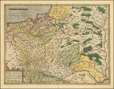
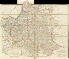
The Atlas Silesiae, was a large scale atlas of Silesia, Poland. The atlas consists of 4 general maps and 16 large scale detailed maps, all with elaborate decorative cartouches.
The work was done during the reign of the Holy Roman Emperor Charles VI (1711 – 1740), when a complete survey of Silesia was undertaken by engineer lieutenant Johann Wolfgang Wieland, and completed in 1732.
Homann Heirs was a German publishing firm that enjoyed a major place in the European map market throughout the eighteenth century. Founded in 1702 by Johann Baptist Homann, the business passed to his son, Christoph, upon Johann’s death in 1724. Christoph died in 1730, aged only 27, and the firm was inherited by subsequent Homann heirs. This altered the name of the company, which was known as Homann Erben, or Homann heirs. The firm continued in business until 1848.
![[ Silesia / Southwestern Poland ] Schleisien in nieder-und ober Schlesien, ndann in Furtenthumer eingethelt, nebt der Grafschafte Glatz](https://storage.googleapis.com/raremaps/img/small/102990.jpg)