|
||

|

|
|

|
Fine promotional wall map of the world, promoting the Norddeutscher Lloyd line of Bremen.
The map focuses on the routes of the Norddeutchser Lloyd Line, an important global steamship line in the 19th and 20th centuries. The routes of the line are traced around the world on the map. In the lower corners are portraits of two of the crown jewels of the line's fleet: SS Kaiser Wilhelm II and SS Kaiser Wilhelm der Grosse. The coats of arms of the line and the house flag of the Lloyd and Standard of the Imperial adorn the upper corners.
In addition to the steamer routes, the map shows important world railways, telegraphs and submarine cables, and other important details.
The map can be roughly dated by the appearance of Rhodesia - the determining factor, whether Norway and Sweden are still in union or have split (1905 versus 1906) is ambiguous.
The maps show a number of important transit features, including:
- Regular lines of the Norddeutscher Lloyd
- Irregular lines
- Connecting lines through other carriers
- Railways
- Telegraph and Submarine Cables
- Ports serviced by Norddeutscher Lloyd
Regarding rarity, we find an example having sold at Swann in 2006 for $1,440.
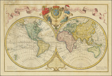
![[Eastern Hemisphere] Le Globe Terrestre Represente En Deux Plans-Hemispheres . . . 1740](https://storage.googleapis.com/raremaps/img/small/92751.jpg)
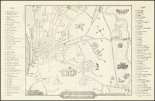
![[Melbourne, Australia] We show you Melbourne City, but from a dizzy height. Come see it as we know it, you'll vote it very bright!](https://storage.googleapis.com/raremaps/img/small/94298.jpg)
![L'Italia e i suoi principali prodotti [Italy and her Principal Products]](https://storage.googleapis.com/raremaps/img/small/89640.jpg)