


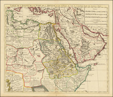
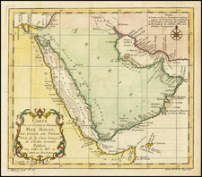
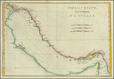
|
||

|

|
|

|
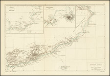
This is an attractive Soviet military map of the region around Muscat, showing part of the United Arab Emirates, Oman, and Saudi Arabia. The map is detailed, showing many cities, rivers, wadis, mountains, and more. The map is particularly detailed regarding geomorphological features.
The map stretches from the little populated deserts of the inland of the UAE to the oases of the Omani coast. Muscat, capital of Oman, is the only large city in the region and dominates the politics and culture of the area. The city's history as a center of commerce is long, and it has seen a resurgence in importance since the 1970s.
Soviet interests in Oman were strained during the period when this map was made. Oman's close ties to the west led to the arming of the Leninist Dhofar rebellion, which was only quenched with Said bin Taimur's coup against his father and British military intervention. Tensions with the Soviet Union remained until 1986 when the two nations started diplomatic relations.
The map shows not only extensive geomorphological features in the area, but also points of strategic importance, such as airfields, wells, and oil resources. This map was printed alongside several other charts of the area, possibly in a Soviet atlas or series regarding the Middle East.
![[Jubail, Saudi Arabia]. Location of Archaelogical Sites - Jubail Area](https://storage.googleapis.com/raremaps/img/small/82295.jpg)
![L'Empire Des Turcs, En Europe, En Asie, et En Afrique . . . [includes Cyprus]](https://storage.googleapis.com/raremaps/img/small/71795.jpg)