|
||

|

|
|

|
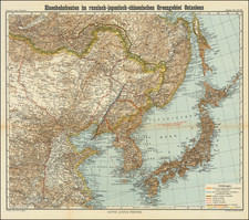
An attractive map of Shanghai, dating to just before or during the Japanese invasion. The map focuses on the International Settlement and the French concession, and extends into the "Chinese City." Shanghai is large, but far from the metropolis it today comprises. Many major roads are named throughout the city, usually both in Chinese and in English. In the French Concession, only French road names are used. Hundreds of buildings, parks, hospitals, schools, and more are all named. Railway lines are shown circling the city, and the various wharves on the Huangpu River belonging to companies such as Standard Oil, Mitsubishi, and other major multinationals are named.
The map also includes insets of Nanking, Shangha Wu Song (a coastal suburb of the city), and of eastern China, stretching from Shandong to Taiwan. Additionally, an interesting photo taken along the Huangpu is shown, with nineteen buildings of interest labeled.

![[Hong Kong / Macao / Canton] Asie No. 98. Partie de La Chine](https://storage.googleapis.com/raremaps/img/small/64115.jpg)
![(Silk Route Region / Western China) [Octava Asie Tabula]](https://storage.googleapis.com/raremaps/img/small/84174.jpg)
![[Nanjing] Nangking](https://storage.googleapis.com/raremaps/img/small/86040.jpg)