


|
||

|

|
|

|
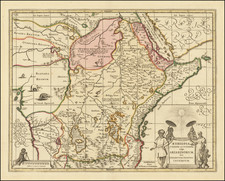
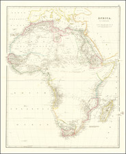
A decorative map of Africa, by Conrad Lotter and based on the latest observations from members of the Royal Academy of Sciences. This map shows all of Africa from the Mediterranean to the Cape of Good Hope and Tristan de Cunha. The map includes small parts of Europe, Arabia, India, and even a smidgen of Brazil. Geopolitical boundaries are shown in an attractive color, spanning kingdoms both real and imagined.
Extensive detail is given, with mountains, rivers, settlements and more shown on land. The Mountains of the Moon are not locatable, but a massive Lac Guarda spawns several rivers in West Africa. Offshore, Madagascar is shown along with the various islands of the western Indian Ocean. In the Atlantic, several large seas of sargasso are shown, representing massive algal patches.
The map includes a large decorative cartouche showing the wildlife of the continent including elephants, ostriches, and even a man wrestling an alligator.

![[ Atlantic Ocean / Triangular Trade / Negroland ]](https://storage.googleapis.com/raremaps/img/small/65187.jpg)