|
||

|

|
|

|
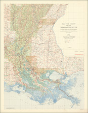
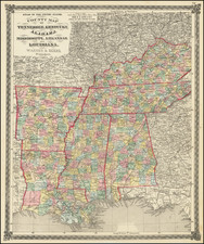
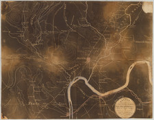
Extremely rare map of the states of the lower Mississippi, focusing on the states of Arkansas, Louisiana, and Mississippi, published by Edward Mendenhall, in Cinncinnati during the Civil War.
The map labels the counties and parishes of the three primary states, coloring them individually. Railroads and roads are also shown, as are forts, which would have been particularly important in the context of the Civil War.
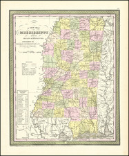
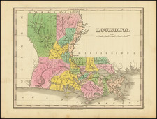
Mendenhall's maps distinguish themselves for their attractiveness; they represent the height of mid-19th century American baroque mapmaking, with rich colors, and intricate printing, especially on the borders.
Rarity
Mendenhall's maps are generally very rare, and this title is no exception. Only two examples are recorded by OCLC: at UVA and the Public Library of Cincinnati and Hamilton County. The only example we can trace on the market was in an Eberstadt catalog in 1936 for $6.50. Not in Rumsey.