


|
||

|

|
|

|
Unrecorded map of the Western Hemisphere Printed on Linen -- With Cook's Discovery of Hawaii
Finely executed map of the Western Hemisphere, printed on linen, which includes the route of Cook's Third Voyage, discovery of Hawaii and demise at the hands of native Hawaiians in 1779.
The map depicts the Western Hemisphere on a stereographic projection, centered on a point in the Pacific. The notable identifying features for dating the map include:
- Inclusion of Captain James Cook's Death in Hawaii (February 14, 1779)
- Naming of the United States
Cartographically, the map tracks very closely with the maps released immediately following the Cook's Third Voyage and pre-dating the explorations of George Vancouver and other English Explorers at the end of the 18th Century. Given the depiction of Florida, Georgia, the Carolinas and Virginia extending to the Mississippi River, and the forced placement of the words "United States," quite awkwardly on the map (and the failure to mention Maine), and the failure to mention MacKenzie's explorations, we strongly suspect that the map was made sometime between 1780 and 1790.
National and colonial boundaries are indicated, as are the tracks of voyages by Anson, Cook, Wallis and others, the latest date given being the death of Cook at Hawaii in 1779. Text notes in the left-side spandrels provide a variety of basic geographical and astronomical statistics. The substantial size; the use of ochre ink; and nice decorative touches such as the “American” and “Asiatic” figures in the right-side spandrels, calligraphic flourishes in the left-side spandrels, and the border of repeating stars all combine to give the textile a fine decorative quality.
Publication
Given the information on the map, we surmise that it was created as a commemorative keepsake in England relating to the final voyage of Captain James Cook, as most map textiles were printed there at the turn of the 19th century. It also bears no date, but the mention of Cook’s death and the naming of the “United States” suggest that it was printed about 1780.
Rarity
The map is unrecorded and not listed in in COPAC, OCLC or Threads of History.
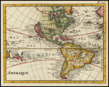
![[Portrait] L'Amerique.](https://storage.googleapis.com/raremaps/img/small/79745.jpg)
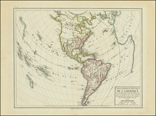


![Carte de L'Amerique Nouvellement dressee suivant les Nouvelles descouvertes . . . 1661 [and] Carte Nouvelle de L'Europe Asie & Afrique Nouvellement . . .](https://storage.googleapis.com/raremaps/img/small/74198.jpg)