This item has been sold, but you can enter your email address to be notified if another example becomes available.


|
||

|

|
|

|
Stock# 61981
Description
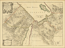
Official Soviet mapping of Syria, published in Moscow in 1977/
A detailed map, typical of those produced in the USSR at this time in terms of its color scheme and themes-covered. The mapsheet has three insets (from top): map of ethnicities (peoples); population density map; and an economic map.
Because the region was continually geopolitically-sensitive, the map relies on Soviet data that vary from what was being published in America and the U.K. at the time.
Condition Description
Folding map with original separate covers.