
This item has been sold, but you can enter your email address to be notified if another example becomes available.


|
||

|

|
|

|
Stock# 6044h
Description
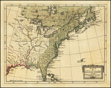
A well engraved and highly detailed map of the United States, one of the earliest appearances of a coast to coast map to appear in a German atlas. Includes marvelous detail in Oregon Territory, Upper California and the Plains and Upper Rocky Mountains. Double wide Arkansas, nice detail in pre-Republic Texas. Michigan is still a territory, and a massive NW Territory remains west of lake Michigan. The map is particularly detailed in Oregon Territory, showing a 54 40 or fight border. A river connects San Francisco with Salt Lake. This map must be regarded as an excellent Western US map. Wheat 391 (1829 edition). A fascinating map, at a time when even American commercial mapmakers were not mapping the US Coast to Coast.
![[United States] Index Map](https://storage.googleapis.com/raremaps/img/small/67626.jpg)

![[ American Revolution - Satirical Warning To Dutch Commerce ] Den Door List en Geweld Aangevallen Leeuw.](https://storage.googleapis.com/raremaps/img/small/99580.jpg)

![A Geographical Chart: or, A Scheme, Comprehending The Most Important Particulars Relative To The Geography of North and South-America. : Designed to be an Auxiliary to the Student. Carefully Compiled from the Best authorities, by Amos Bingham [Copy-Right Secured]](https://storage.googleapis.com/raremaps/img/small/41406.jpg)