
This item has been sold, but you can enter your email address to be notified if another example becomes available.


|
||

|

|
|

|
Stock# 56309
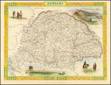
![[ Central Hungary]](https://storage.googleapis.com/raremaps/img/small/103268.jpg)
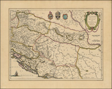
![[ Croatia / Bosnia ] Der Sudliche Theil des Koenigreichs Dalmatien mit der Republik Ragusa](https://storage.googleapis.com/raremaps/img/small/103278.jpg)