|
||

|

|
|

|
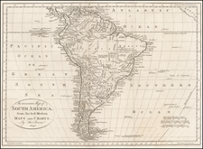
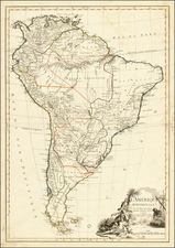
Early edition of Lavoisne's maps of North and South America, surrounded by descriptive text, from Lavoisne's Genealogical, Historical ... and Geographical Atlas ....
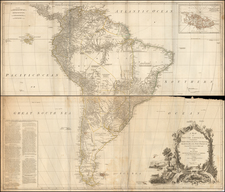
The North America map shows the information which would have been available to Lewis & Clark immediately before their departure to the west up the Missouri River, most notably the conjectural system of rivers which formed the headwaters of the "R. Pekitanatoui or Missoury".
The foregoing notes one of the few times the original name for the Missouri River was used. In May 1673, the French explorers Louis Jolliet and Jacques Marquette left the settlement of St. Ignace on Lake Huron and traveled down the Wisconsin and Mississippi Rivers, aiming to reach the Pacific Ocean. In late June, Jolliet and Marquette became the first documented European discoverers of the Missouri River, which according to their journals was in full flood. They recorded Pekitanoui or Pekistanoui as the local name for the Missouri. However, the party never explored the Missouri beyond its mouth, nor did they stay in the area.

![Johnson's North America [with Inset of Hawaii]](https://storage.googleapis.com/raremaps/img/small/88883.jpg)