This item has been sold, but you can enter your email address to be notified if another example becomes available.


|
||

|

|
|

|
Stock# 5284
Description
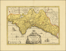
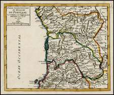
Detailed map of Spain (España), Portugal and the Balearic Islands, coloured by provinces. A chart identifies the independent states of Biscay and Navarre and other details. Robert Wilkinson was active in London as a cartographic publisher from 1785 to 1825. He produced a number of nice works, including a General Atlas and a re-issuance of Bowen & Kitchen's English Atlas, along with excellent large format separate maps.