|
||

|

|
|

|
Stock# 51959
Description
Attractive 18th-century manuscript map in ink and watercolor.
The map proclaims to show the first and last parts of the action of "Fieldmarschal Konigseg" in Tyrol. That being said, the map seems largely imaginary. The Brenta River is certainly real, but it is relatively short an is in the Veneto. Neither the towns of Clausn, Canezio, and Brankafora (or Branka Fora), nor "Mont Fienazo" map to a real location we have been able to identify. Selva is a town in Tyrol, but the geography around it is nothing like what is shown on this map.
A curious and attractive piece of hand-drawn mapmaking.
The key in the lower-left corner alludes to French and Croatian soldiers among other things.
Condition Description
Minor marginal soiling. Some reinforcement on verso to old greens.
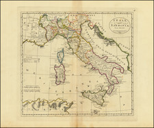
![Italy South Part. [Includes Sicily--large inset of Sardinia]](https://storage.googleapis.com/raremaps/img/small/103065.jpg)