This item has been sold, but you can enter your email address to be notified if another example becomes available.


|
||

|

|
|

|
Stock# 50102
Description
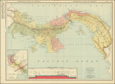
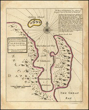
Detailed map of a portion of Honduras, showing the prospective route of a rail line from the Atlantic to the Pacific Ocean.
The line extends from the Bay of Fonseca to the Bay of Honduras, showing:
- The located line (231 miles) with a black line
- Proposed improvements (220) miles with a dashed line
- Discretional lines with a dot dash line
Also includes profile views of potential canal sites.
Condition Description
Minor toning along a few folds.