This item has been sold, but you can enter your email address to be notified if another example becomes available.


|
||

|

|
|

|
Stock# 41727
Description
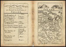
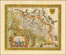
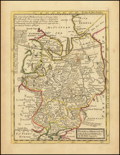
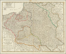
Fine large format map of Poland, from the end of the 18th Century.
Highly detailed, naming with far more roads and towns than typical maps of the period. Includes a key naming Polish Worters.
Condition Description
Faint evidence of paper imperfection near title cartouche, which is on the verso Old blue ink stain at bottom left corner, as illustrated. The lower margin is bigger than shown, so the stain is a bit larger, but again, far from printed image.
Reference
Imago Poloniae K59/5; Malinowski 374