This item has been sold, but you can enter your email address to be notified if another example becomes available.


|
||

|

|
|

|
Stock# 3557
Description
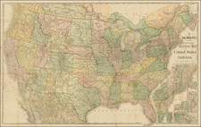
Fascinating map of the US, featuring an early appearance of Mississippi Territory (including all of Alabama) and Northwest Territory (pre-dating Michigan, Indiana, Illinois and Wisconsin. Very detailed treatment of the river system, with many place names shown. Published shortly after the Louisiana purchase, with no signs of the results of Lewis & Clark's explorations, and a highly unusual and speculative group of rivers, none of which had been explored or accurately charted.. A fascinating map for this period.
![Carte Generale Des Etats Unis De L'Amerique Septentrionale Renfermant Aussi Quelques Provinces Angloise . . . [Shows State of Franklin!]](https://storage.googleapis.com/raremaps/img/small/98580.jpg)