|
||

|

|
|

|
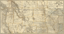
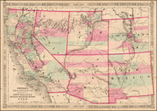
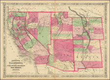
Fascininating Custer County, Colorado Plat Map and GLO Mineral Certificate, confirming the mining claim of William S. Smith, Carrie E. Nichols, John W. Spratly and Junius N. Spratly upon the Cornucopia Lode, Hardscrabble Mining District, Custer County, Colorado, dated March 29, 1883
A fine example of a General Land Office Mineral Certificate, consisting of a finely engraved frontice masthead of the United States of America General Land Office, finely executed manuscript plat map and mostly manuscript text (2 pages).
The claim is mentioned in C opp's Land Owner, August 1, 1884, page 145.
The General Land Office (GLO) refers to the independent agency in the United States that was in charge of public domain lands. Created in 1812, it assumed the responsibilities for public domain lands from the United States Department of the Treasury. The Treasury had overseen the survey of the Northwest Territory, but as more area was added to the United States, a new agency was necessary to survey the new lands.
Eventually, the GLO would be responsible for the surveying, platting, and sale of the majority of the land west of the Mississippi, with the exception of Texas. When the Secretary of the Interior was created in 1849, the GLO was placed under its authority. Until the creation of the Forest Service in 1905, the GLO also managed forest lands that had been removed from public domain. In additional to managing the fees and sales of land, the GLO produced maps and plans of the areas and plots they surveyed. In 1946, the GLO merged with the United States Grazing Service to become the Bureau of Land Management.


![[California, Texas, and Southwest Globe Gore] with [Strait of Anian Globe Gore]](https://storage.googleapis.com/raremaps/img/small/99425.jpg)