This item has been sold, but you can enter your email address to be notified if another example becomes available.


|
||

|

|
|

|
Stock# 31116
Description
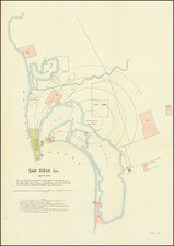
Interesting map of Los Angeles, providing a complete line item history of the various areas annexed into the City.
The table to the left includes a full text of all annexations into the City of Los Angeles, including dates, ordinances, name of the area, size and method of acquisition. The map shows each of the annexed areas in color.
The map is scarce on the market, although it would appears that beginning about 1924, the city began publishing the map on an annual basis for the next 10 years or so. The map may be drawn from earlier wall maps prepared by the city in the same format.
Condition Description
Unfolded