This item has been sold, but you can enter your email address to be notified if another example becomes available.


|
||

|

|
|

|
Stock# 30548
Description
Detailed map of the including parts of San Jose, Milpitas, Mt. Pleasant etc., from Thomson & West's Historical atlas map of Santa Clara County, California. Compiled, drawn and published from personal examinations and surveys by Thompson & West, San Francisco.
Small inset shows the Plat for the origional Pueblo of San Jose. Many early interesting details. Includes a number of early property owners. Many early ranchos are identified, along with schools, roads, creeks, etc.
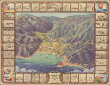
![[ Ski Poster ] Mammoth California](https://storage.googleapis.com/raremaps/img/small/97884.jpg)