This item has been sold, but you can enter your email address to be notified if another example becomes available.


|
||

|

|
|

|
Stock# 28921
Description
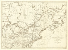
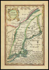
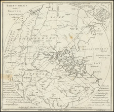
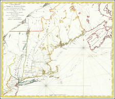
An early map of Massachusetts Bay Colony, which appeared in the Universal Magazine.
Shows boundary line with New Hampshire Colony, Rhode Island Province, Part of Connecticut Colony, Boundary of Rhode Isle, early counties, etc. Nantucket, Martha's Vineyard and Norman's Island shown. Nice detail on the Cape. The map includes towns, roads, mountains, rivers, harbors, etc.
Reference
Jolly I Univ-190