|
||

|

|
|

|
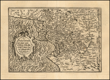
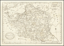
Scarce early edition of Mortier's map of Sarmatia.
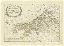
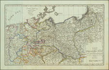
This map shows part of the Baltic and Gulf of Riga, including the modern countries of Poland, Lithuania, Ukraine and Latvia. Germania was defined by Rome as having two regions: Lesser Germania, west and south of the Rhine, occupied by the Romans, and Greater Germania (Magna Germania) east of the Rhine. This map shows Greater Germania, also known as "Magna Germania".
Pierre, or Pieter, Mortier (1661-1711) was a Dutch engraver, son of a French refugee. He was born in Leiden. In 1690 he was granted a privilege to publish French maps in Dutch lands. In 1693 he released the first and accompanying volume of the Neptune Francois. The third followed in 1700. His son, Cornelis (1699-1783), would partner with Johannes Covens I, creating one of the most important map publishing companies of the eighteenth century.