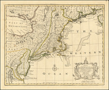
|
||

|

|
|

|
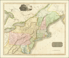
First edition of Carey's map of Virginia, one of the earliest obtainable maps of Virginia published in the U.S.
Wheat & Brun note " this is a topographical map showing much detail. Many towns and court houses are indicated; county names are given but no boundaries,; and a number of roads are shown. The western boudnary follows the west fork instead of the east fork of the Gr: Sandy R. [ie. the Big Sandy River] to the Cumberland Divide. The northwest corner of North Carolina is shwon on teh Blue Ridge Divide instead of on Stone Mountain." John Reid would later copy this map for his American Atlas, with minor changes.
This edition can be distinguished from the second edition, published in 1800, by the lack of the number 36 in the upper right corner, which appears on the 1800 edition of the map.