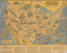
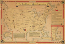
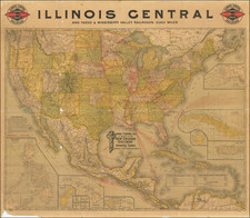
|
||

|

|
|

|
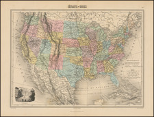
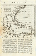
Rare and historically significant map of the proposed route for a road from Washington to New Orleans, which was separately issued in connection with a bill submitted to Congress. The map was intended to illustrate a rare 28 page report entitled A National Road from City of Washington to New Orleans, published in 1826.
The map covers all or parts of Virginia, North Carolina, South Carolina, Kentucky, Tennessee, Georgia, Alabama, Mississippi, and Louisiana and shows the routes considered for the proposed National Road. Detail such as topography, cities and towns appears only in the areas along the proposed routes. A straight line between Washington and New Orleans also appears on the map with latitude and distances noted at intervals. In March 1830, the House of Representatives considered and rejected a bill for construction of a National Road from Buffalo to New Orleans, via Washington DC. Following its defeat, a compromise bill, the Maryville Road Bill was introduced, but later vetoed by Andrew Jackson, in a severe blow to the creation of a National Transportation System for the country.
Goodspeed (Catalog Entry-1971) notes "This map was made to accompany a War Department report on the road (House Doc. No. 156), which states: "A general map has been compiled from Tanner's atlas, and drawn by lieuts. Jefferson Vail and W. Williams. . . . The projection is that employed by Delille and Danville," etc." A companion report and map covered the region from Buffalo to the Washington. Both of the reports and maps are quite rare, with no auction records or dealer catalog entries in the past 20 years.