This item has been sold, but you can enter your email address to be notified if another example becomes available.


|
||

|

|
|

|
Stock# 18575
Description
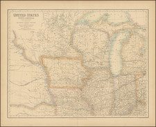
Finely executed hand drawn map of the United States, primarily covering the region between the Alleghany Mountains and the Plains region of the United States. The map shows a number of early territorial boundaries, including the nacsent Alabama Territory, Michigan Territory, the Northwest Territory and Missouri Territory, prior to the creation of Missouri.
The map provides a uniformly excellent treatment of the region covered, including population information, early roads, forts and Indian tribal lands. Excellent annotations in the West. The map was clearly executed by a skilled hand. While school girl maps of this period periodically show up on the market, this map was clearly executed by a far more skilled and informed hand.
Condition Description
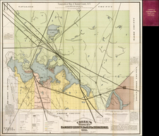
Western half of map

![Map of the United States And Territories, Together with Canada &c. [Shows Massive Idaho Territory]](https://storage.googleapis.com/raremaps/img/small/100353.jpg)